Canada is located in the North America region at latitude 56.130366 and longitude -106.346771 and is part of the North American continent.
The DMS coordinates for the center of the country are:
- 56° 7' 49.32'' N
- 106° 20' 48.38'' W
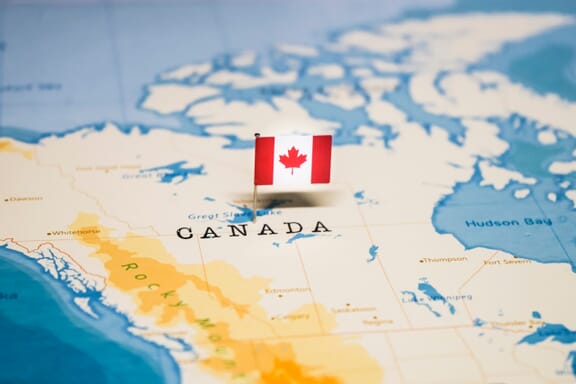
You can see the location of Canada on the world map below:
Canada Neighboring Countries
The neighboring countries of Canada (CA) are:
- United States of America (US)
Maritime Borders
Canada borders with Arctic Ocean, the Atlantic Ocean, and the Pacific Ocean.
Canada Related Content
Canada Key Facts
| Country | Canada |
| Coordinates | Latitude: 56.130366 Longitude: -106.346771 |
| Country Codes | Alpha 2: CA Alpha 3: CAN |
| Country Flag Emoji | 🇨🇦 |
| Int. Phone Prefix | +1 |
| Capital city | Ottawa |
| Continent Subcontinent | North America North America |
| Country Area | 9,984,670 sq km |
| Population 2021 | 38,246,108 World Rank: 38 |
| Median Age | 40.2 |
| Life expectancy | 82.7 |
| Major languages | English (official) 58.7%, French (official) 22%, Punjabi 1.4%, Italian 1.3%, Spanish 1.3%, German 1.3%, Cantonese 1.2%, Tagalog 1.2%, Arabic 1.1%, other 10.5% (2011 est.) |
| UTC/GMT Time | Number of time zones: 6
|
| Internet TLD | .ca |
| Biggest Airport | Toronto Pearson International Airport (YYZ) |
| Average temperature | 10.00 °C 50.00 °F |
| Administrative Divisions | 10 provinces 3 territories |
| Political system | Federal parliamentary democracy and constitutional monarchy |
Canada Economy Facts
| World Bank Income Group | High income |
| World Bank Region | North America |
| Currency | Canadian Dollar (CAD) |
| GDP in 2020 | $1645.4 (billions of USD) World Rank: 9 |
| GDP per capita in 2020 | $43,258 World Rank: 21 |
| Major Industries / Economic Sectors | Agriculture, manufacturing, energy, services |
| Top 5 Import Countries | United States, China, Mexico, Germany, Japan |
| Top 5 Export Countries | United States, China, Mexico, Japan, United Kingdom |
Biggest Cities in Canada
Here are the largest cities in Canada based on 2021 data:
| City | Population |
|---|
| Toronto | 5,429,524 | Montreal | 3,519,595 | Vancouver | 2,264,823 | Calgary | 1,239,220 | Edmonton | 1,062,643 | Ottawa | 989,567 | Mississauga | 721,599 | Winnipeg | 705,244 | Quebec City | 705,103 | Hamilton | 693,645 |
Map of Canada with the Largest Cities
Other Countries in the North America Region
Image Sources and Copyright Information
- Map of Canada with Canadian Flag Pin: © hyotographics@Shutterstock