What are the 7 continents of the world? There are 7 Continents in the world.
List of 7 Continents of the World
The World’s Largest and Smallest Continent
The largest of the 7 continents in the world is the Asian continent. It has an area of 44 million, 579 thousand sq km.
The smallest continent in the world is the continent of Australia. It has an area of 8 million, 525 thousand 989 sq km.
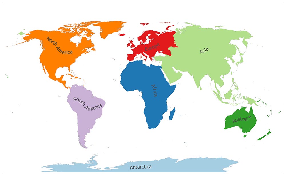
7 Continents of the World
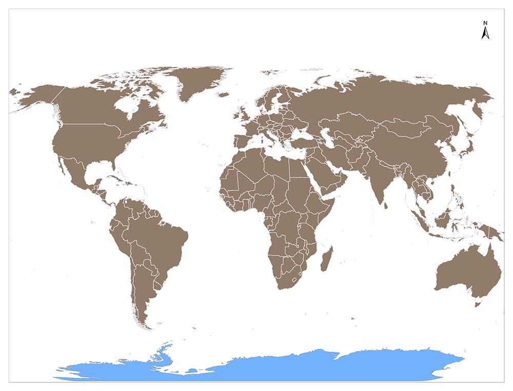
Although there are many ideas about the number of continents in the world, the number of continents in the world is considered 7 in this content. You can see 7 Continents of the World on the world map above.
What are the 7 Continents of the World?
Here is a Ranking of the Largest to the Smallest Continent by Land Area:
1. Asia
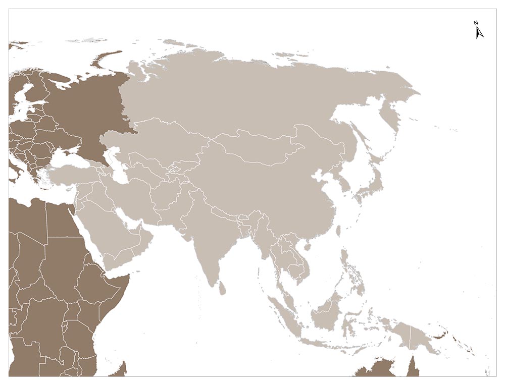
Asia, which is part of the old world land mass, is the world’s largest continent with 44,391,163 km². It is also the world’s highest continent with an average elevation of 1,010 m. This elevation of Asia is due to the Himalaya Mountains, which have the highest peaks in the world.
Asia has a width of 8,490 km in the north-south direction. To the north of the continent is Cape Chelyuskin (77 ° 42 ’55’ ‘K parallel) in Russia, the southernmost, on Malacca Peninsula (1 ° 14’ 17 ” K parallel).
Borders of Asia Continent
Asia is bordered by the Arctic Ocean from the north. Furthermore, it is separated from the US by a 100 km wide Bering Strait, a shallow sea in the North East. Besides, the continent is bordered by the Pacific Ocean in the east. However, there are islands and archipelagos which form the parts of the north-south direction mountains that rise above the ocean floor.
The southeastern border of the continent is somewhat confused, but the line between the Sunda Islands and the Arafura Sea can be regarded as the border. The Indian Ocean borders the continent from the south.
The western border of Asia is a highly controversial issue. Although many researchers suggest different views, the most accepted limit is; Ural Mountains, Ural River, Black Sea, The Dardanelles, Bosphorus, Aegean Sea, Mediterranean Sea, Suez Canal and a line over the Red Sea. Anatolia and the Caucasus to the east of this line are added to Asia and Thrace to Europe.
The Continent of the Most, Asia
The largests in the world came together in Asia. The largest of the continents (44,391,163 km²) and the highest average elevation (1,010 m). In addition, the highest peak in the world (8,848 m, Everest), the largest lake (Hazar Lake or Sea), the deepest lake (Lake Baikal), the lowest level of the earth’s sea level (Dead Sea, Lake surface -392 m), and the world the lowest basin (Turfan Basin -154 m) is located in Asia continent.
Asia is the most populous continent in the world, with its population exceeding 3.5 billion. China, the most populous country in the world, is on this continent.
Moreover, all three religions of Islam, Christianity, and Judaism were born in the Middle East. Buddhism and Hinduism, which appeal to a wider audience, are Asian religions.
Asia is also the cradle of civilizations. Turkish, Chinese and Indian civilizations have been in this continent for thousands of years. Over 100 languages are spoken in the continent.
2. Europe
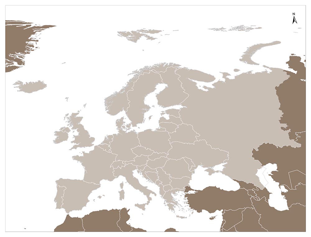
It is a continent in the north of Africa, west of Asia and east of the Atlantic Ocean.
Europe means the side where the Sun sets. This name, which was passed from the Phoenicians to the Greeks, became the Europa in Greek and was given the name of the countries in the West by the Aegean Sea.
It is also the name of the daughter of Agenor and Telepassa, the King of Finike in Mythology. He was kidnapped in Ida by Zeus, who had taken the shape of a bull. The name is given to a continent.
The Second Smallest Continent, Europe
Regarding size, Europe is the second-smallest continent after Australia; the Atlantic Ocean in the west, the North Sea and the Atlantic Ocean in the north, the Mediterranean in the south and the Asian continent in the east.
The European continent is very close to the African continent in the south (14 km from the Strait of Gibraltar). In the southeast, it almost joins to Asia (0,7 km from the Bosphorus, 1,3 km from the Dardanelles Strait).
While Europe does not have a definite boundary in the east, the Ural Mountains from the north to the south, the Ural River, the Black Sea, the Bosphorus, and the Dardanelles and the Aegean Sea are the borders on other aspects.
Europe’s surface area is 10,523,000 km2. This means 5% of the earth and 15% of the earth’s land. Europe is similar to a triangle framed by 10 to 60 eastern meridians, with approximately 35 to 70 north parallel circles on the map. There are 0-4 time zones on the continent.
Europe’s extreme points; North Cape (71° 10 ‘north latitude) in the north, Matapan Cape in the south (36° 23’ north latitude), Rocca (Portugal) in the west (9° 29 ‘west longitude), Ural Mountains in the east (60° east) ).
The length between the Rocca Cape and the Ural Mountains is 5,500 km, and the width between the Cape of the North and the Cape of Matapan is 3,800 km.
Diversity in History
This continent, which has been the cradle of the great kingdom and empires, has maintained its development and completed its industrialization in a short time according to all other continents.
The importance of Europe is not based on its location, surface area, natural resources, population, and physical characteristics, but also its human resources and its qualities.
The population of well-educated people has been developed economically and has reached a high standard of living thanks to its progress in science and technology.
Europe, which has little natural resources, owes its development to the high qualities of human resources and the blessings of the colonial system. Today, the people of the United States, which is the biggest power focus of the world, are mostly of European origin.
Many of the important inventions, which are the milestones of scientific and technological developments, were also discovered by the Europeans.
The European Union, which aims at the unification of European countries in every way and carries out important steps in this way, further increases the power and importance of Europe in the world.
3. Africa
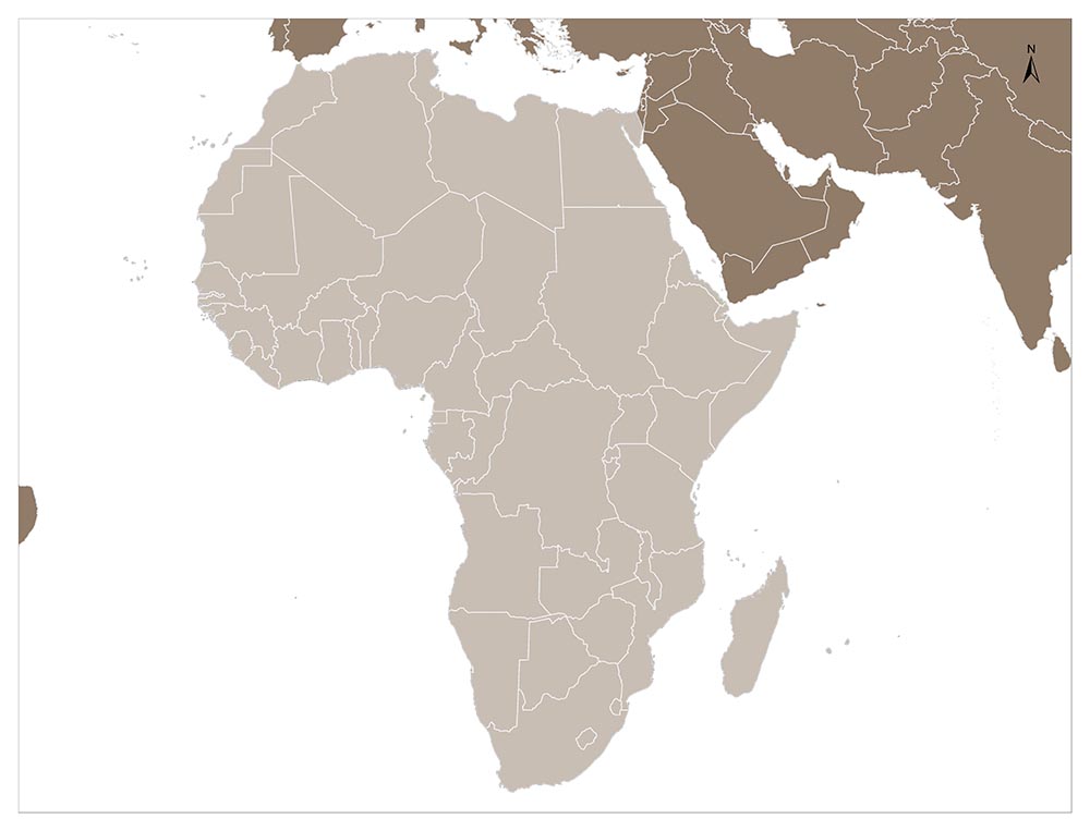
Africa, which is one of the oldest world lands, has a surface area of 30,218,000 square kilometers. The African name was inspired by the name of the Romans called Afri or Africani.
The continent got the African name during the ”Punic“ wars. Until then, the Greek writers called this continent “Libya”. However, at the end of the 2nd century AD, this name began to be used for the whole continent.
Africa has borders with the Mediterranean from the north. Also, the Suez Channel separates the continent from Asia in the northeast. The continent is adjacent to the Red Sea and the Indian Ocean in the east. Bab-el Mendep Strait approaches 18 km to the Arabian Peninsula.
Moreover, Indian Ocean surrounds the continent in the south and the Atlantic Ocean in the west. 14 km wide Gibraltar Strait separates the continental part from Europe in the northwest.
In some countries of the continent, oil production associated with poverty, violence, and pollution can double in West Africa over a decade.
4. Antarctica
Antarctica, the southernmost part of the Southern Hemisphere and the continent containing the South Pole. It is the only continent in the south of Africa and Oceania.
The discovery of the legendary continent in the South, after a search of 200 years, was only successful in 1840. Charles Wilkes, with his sailboat roughly 2,000 km along the coast, proved to be a truly large continent, unlike the Arctic north, where the South Pole was.
With a surface area of 12.4 million km², this continent is almost half the size of Africa. Within this region, South Shetland, South Georgia, as well as several archipelagos are located.
Its name covers the Antarctic, which means “opposite the Arctic” (Greek: Antarctic), as a large layer of ice with an average thickness of 2,000 m. The thickness of the ice at a polar point once called “unattainable”, reaches 4.335 m. With the volume of 24 million km3, this ice mass constitutes 92% of all ice on the earth.
5. Australia / Oceania
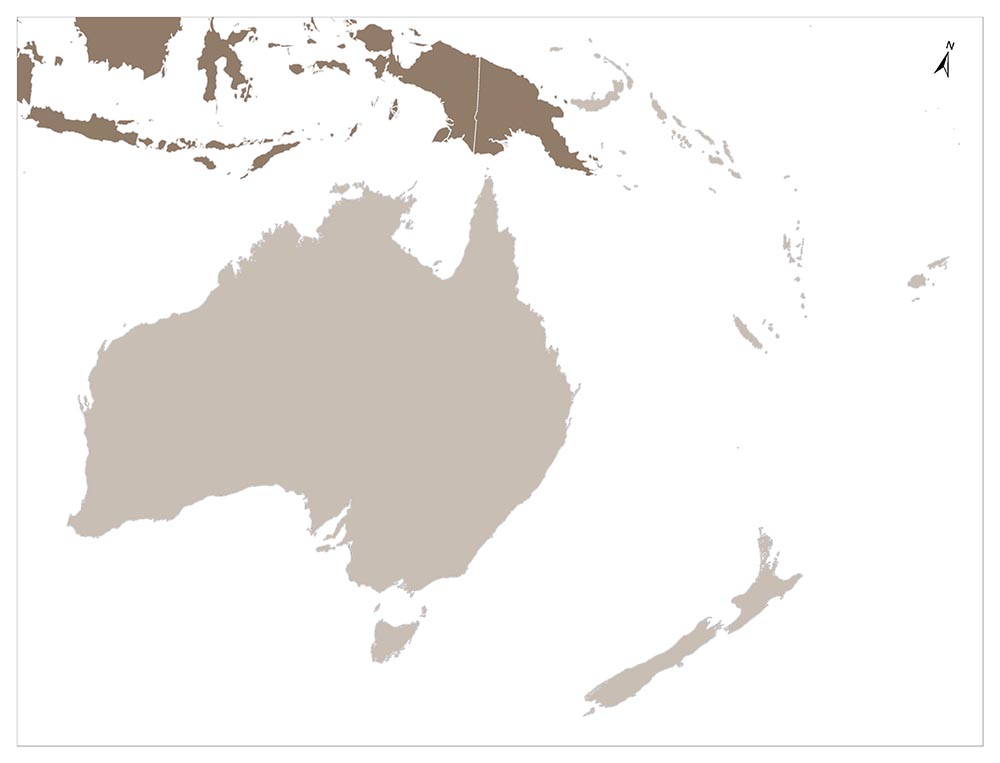
Oceania is the continent that includes Australia, New Zealand, and the islands scattered across the Pacific Ocean.
It is located in the south and southeast of Asia, north of Antarctica, and between the Pacific Ocean and the Indian Ocean. Unlike the other parts of the world, which are continents, it is the ocean that gives integrity to this part and gives its name. Its surface area is 8,970,000 square kilometers.
The islands in the Pacific Ocean are not all connected to Oceania. The archipelago near Asia and America is part of these continents. The islands off the coast of America, Aleut Islands and the Japanese archipelago, especially in the Far East, Indonesia and the Philippines do not join Oceania.
Although the Malaysian archipelago is sometimes linked to Oceania, it is closer to Southeast Asia in terms of its peoples, civilizations and all its activities.
Four Parts of the Australia Continent
There are four parts of the continent. Australia, Melanesia, Polynesia, and Micronesia. Melanesia includes islands in the east of Australia and Indonesia. These islands are usually in New Guinea.
Polynesian encompasses the New Zealand archipelago and the Middle Pacific islands in the north and south of Ecuador.
Micronesia includes the archipelago to the north of Malaysia. The islands of the various archipelago generally extend from the northwest to the southeast and mostly look like an arc.
Australia is the only country to cover an entire continent. Its neighbors are Indonesia, East Timor, Papua New Guinea, Solomon Islands, Vanuatu, New Caledonia, and New Zealand.
To the southeast of Asia, it lies in the Southern Hemisphere and ranks sixth regarding land among the nations of the world. It is located between 10° -44 ° south latitudes and 112° -154° east longitudes.
The Lowest Continent, Australia
Australia is the lowest in terms of continents. 94% of the land is less than 660 meters above sea level and there is no peak to form a hill. The coastline, which is more than 16,650 kilometers, has some deep coves and gulfs even though it is smooth.
The outer surface of the old rocks on the large areas of the western plateau and some parts of the eastern regions provide gold, silver, tin, zinc, and copper which are precious metals. The country also has important iron, bauxite and uranium deposits. There is coal in significant amounts.
The vegetation of Australia is both different and specific. There are sparse desert plants and shrubs in arid parts. With the increase in rain, the vegetation changes from the bushes to the forest.
There are forests and shrubs on the East Coast and Tasmania. Also, acacia and eucalyptus are among the popular vegetation of Australia continent. Hundreds of species are specific to Australia.
Moreover, there are palm trees, pine trees, timber trees belonging to Southeast Asia’s plant community in the tropical forests of the Northeastern coast.
6. North America
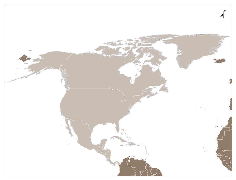
North America is located in the northern hemisphere, surrounded by the Arctic Ocean in the north, the Atlantic Ocean in the east, the Caribbean Sea in the south, and the northern Pacific Ocean in the west.
It forms an area of 24,230,000 km². It is also the third largest continent after Asia and Africa and is the fourth most populous continent after Asia, Africa, and Europe.
North America’s only connection to South America is the narrow Panama Canal.
There are four major regions in the continent: from the Gulf of Mexico to the Canadian Back, Great Plains; The geologically young, mountainous west, including the Rocky Mountains, Great Bass, California and Alaska; Canada high in the northeast but relatively flat; and the eastern region that includes the Appalachian Mountains and the Florida peninsula.
7. South America
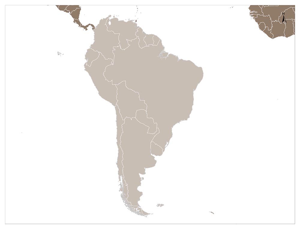
Map of South America ContinentThe continent that forms the southern half of America. South America is to the east of the Pacific, west of the Atlantic Ocean, south of North America and north of Antarctica. South America has an area of 17,840,000 square km. Or approximately 3.5% of the Earth’s surface.
South America is the fourth in the rankings (after Asia, Africa, and North America) and the fifth in the population (after Asia, Africa, Europe, and North America).