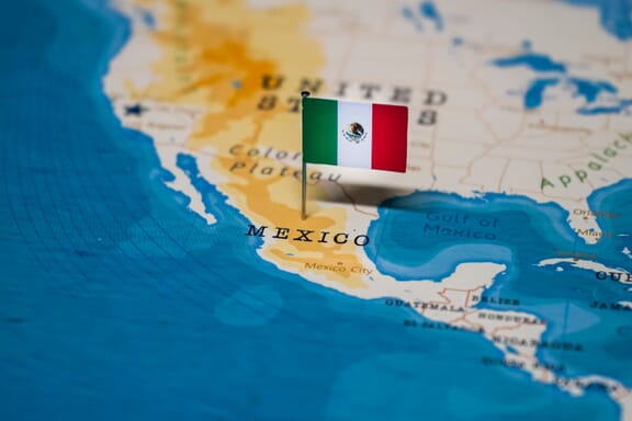
Mexico is located in the North America region at latitude 23.634501 and longitude -102.552784 and is part of the North American continent.
The DMS coordinates for the center of the country are:
- 23° 38' 4.20'' N
- 102° 33' 10.02'' W
You can see the location of Mexico on the world map below:
Mexico Neighboring Countries
The neighboring countries of Mexico (MX) are:
- Belize (BZ)
- Guatemala (GT)
- United States of America (US)
Maritime Borders
Mexico borders with Pacific Ocean, the Gulf of Mexico, and the Caribbean Sea.
Mexico Related Content
- States of Mexico
- What is the Capital of Mexico?
- Mexico Flag Map and Meaning
- Most Dangerous Places in Mexico
Mexico Key Facts
| Country | Mexico |
| Coordinates | Latitude: 23.634501 Longitude: -102.552784 |
| Country Codes | Alpha 2: MX Alpha 3: MEX |
| Country Flag Emoji | 🇲🇽 |
| Int. Phone Prefix | +52 |
| Capital city | Mexico City |
| Continent Subcontinent | North America North America |
| Country Area | 1,964,375 sq km |
| Population 2021 | 130,262,220 World Rank: 10 |
| Median Age | 29 |
| Life expectancy | 70.2 |
| Major languages | Spanish only 92.7%, Spanish and indigenous languages 5.7%, indigenous only 0.8%, unspecified 0.8% (2005) note: indigenous languages include various Mayan, Nahuatl, and other regional languages |
| UTC/GMT Time | Number of time zones: 4
|
| Internet TLD | .mx |
| Biggest Airport | Mexico City International Airport (MEX) |
| Average temperature | 21.00 °C 69.80 °F |
| Administrative Divisions | 31 states 1 federal district |
| Political system | Federal presidential representative democratic republic |
Mexico Economy Facts
| World Bank Income Group | Upper middle income |
| World Bank Region | Latin America & Caribbean |
| Currency | Mexican Peso (MXN) |
| GDP in 2020 | $1087.1 (billions of USD) World Rank: 15 |
| GDP per capita in 2020 | $8,432 World Rank: 75 |
| Major Industries / Economic Sectors | Manufacturing, services, agriculture, energy |
| Top 5 Import Countries | United States, China, Japan, Germany, South Korea |
| Top 5 Export Countries | United States, Canada, China, Japan, Germany |
Biggest Cities in Mexico
Here are the largest cities in Mexico based on 2021 data:
| City | Population |
|---|
| Mexico City | 21,505,000 | Guadalajara | 5,437,000 | Tijuana | 1,922,523 | Ecatepec | 1,857,188 | Leon de los Aldama | 1,579,803 | Puebla | 1,576,259 | Zapopan | 1,476,491 | Juarez | 1,321,004 | Monterrey | 1,135,512 | Ciudad Nezahualcoyotl | 1,109,363 |