Netherlands is located in the Western Europe region at latitude 52.132633 and longitude 5.291266 and is part of the European continent.
The DMS coordinates for the center of the country are:
- 52° 7' 57.48'' N
- 5° 17' 28.56'' E
You can see the location of Netherlands on the world map below:
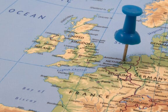
Netherlands Neighboring Countries
The neighboring countries of Netherlands (NL) are:
- Belgium (BE)
- Germany (DE)
Maritime Borders
The Netherlands borders with the North Sea.
Netherlands (the) Related Content
Netherlands Key Facts
| Country | Netherlands (the) |
| Coordinates | Latitude: 52.132633 Longitude: 5.291266 |
| Country Codes | Alpha 2: NL Alpha 3: NLD |
| Country Flag Emoji | 🇳🇱 |
| Int. Phone Prefix | +31 |
| Capital city | Amsterdam |
| Continent Subcontinent | Europe Western Europe |
| Country Area | 41,543 sq km |
| Population 2021 | 17,533,405 World Rank: 67 |
| Median Age | 41.7 |
| Life expectancy | 81.7 |
| Major languages | Dutch |
| UTC/GMT Time | Number of time zones: 2
|
| Internet TLD | .nl |
| Biggest Airport | Amsterdam Airport Schiphol (Amsterdam) |
| Average temperature | 12.50 °C 54.50 °F |
| Administrative Divisions | 12 provinces 3 countries 3 special municipalities |
| Political system | Parliamentary democracy |
Netherlands Economy Facts
| World Bank Income Group | High income |
| World Bank Region | Europe & Central Asia |
| Currency | Euro (EUR) |
| GDP in 2020 | $913.9 (billions of USD) World Rank: 17 |
| GDP per capita in 2020 | $52,396 World Rank: 11 |
| Major Industries / Economic Sectors | Manufacturing, services, agriculture, energy |
| Top 5 Import Countries | Germany, Belgium, China, United States, Italy |
| Top 5 Export Countries | Germany, Belgium, United Kingdom, France, United States |
Biggest Cities in Netherlands
Here are the largest cities in Netherlands based on 2021 data:
| City | Population |
|---|
| Amsterdam | 862,965 | Rotterdam | 631,155 | The Hague | 537,833 | Utrecht | 343,779 | Eindhoven | 231,642 | Tilburg | 217,259 | Almere | 207,904 | Groningen | 201,462 | Breda | 183,873 | Nijmegen | 177,659 |